
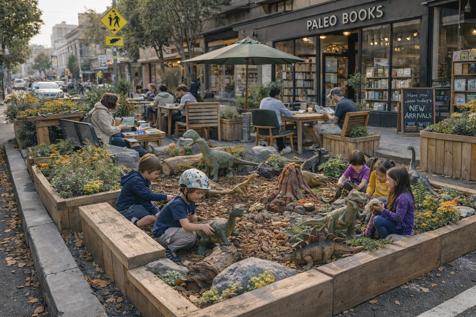
Public Space Initiative Takes on a Life of Its Own
Originally conceived as a small outdoor extension of Paleo Books, the parklet has evolved into a highly utilized public space. Adjustments have been made in response to usage patterns, including the introduction of additional play features and a noticeable increase in dinosaur activity.
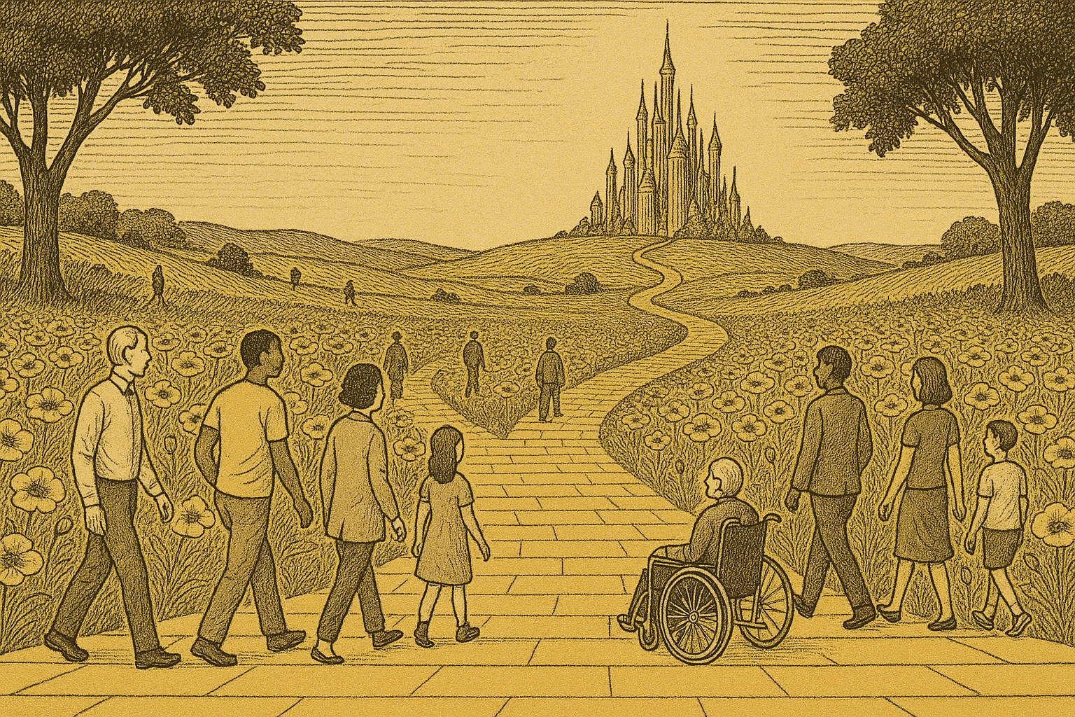
Case Study: The Emerald Valley Pedestrian Corridor
The dramatic backstory to building one of the worlds most celebrated (and sung) pedestrian corridor.